Cows and Fish Programming Evaluation Strategic Summary
Report #013. 2001.

Publiation has been added to cart
Report #013. 2001.
Report #015. 2002.

Report #039. 2009.
Report #023. 2002.
Report #010. 2000.
Report #008. A Summary of the Use of Riparian Habitats by Species at Risk in Canada. 2000.
Report #007. A Literature Search and Summary. 2000.
Caring for the Green Zone Newsletter
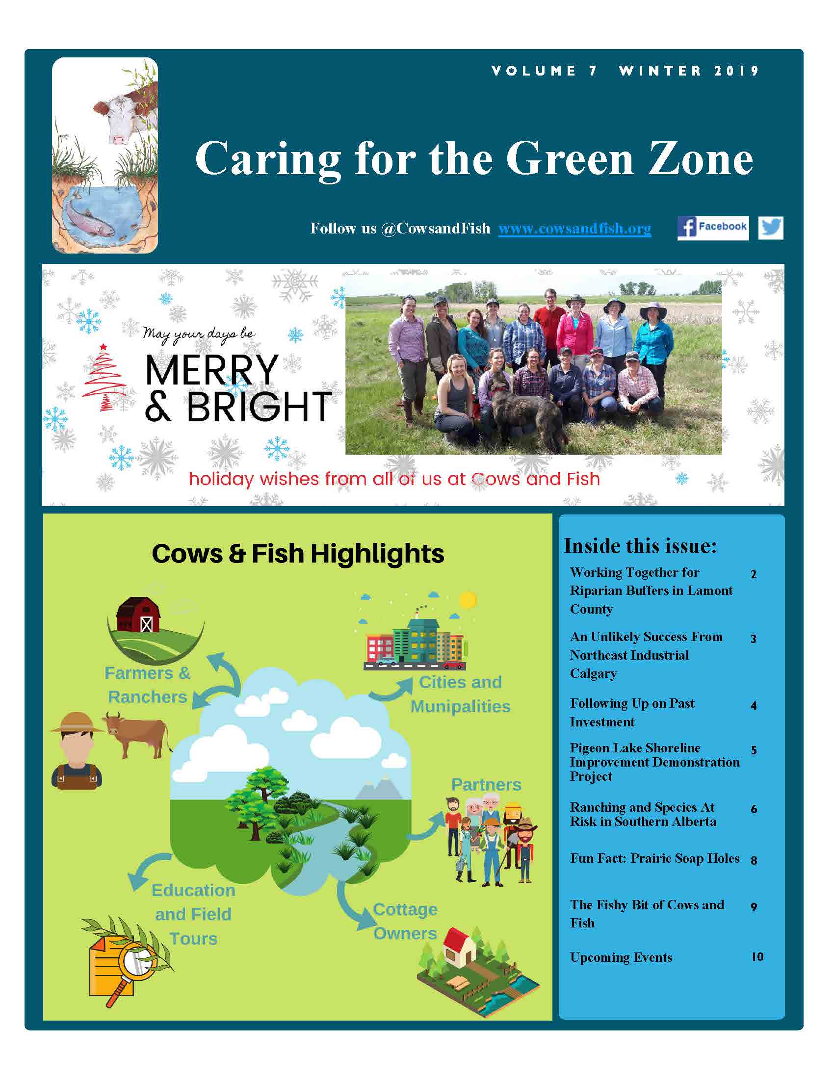
Volume 7 Winter 2019
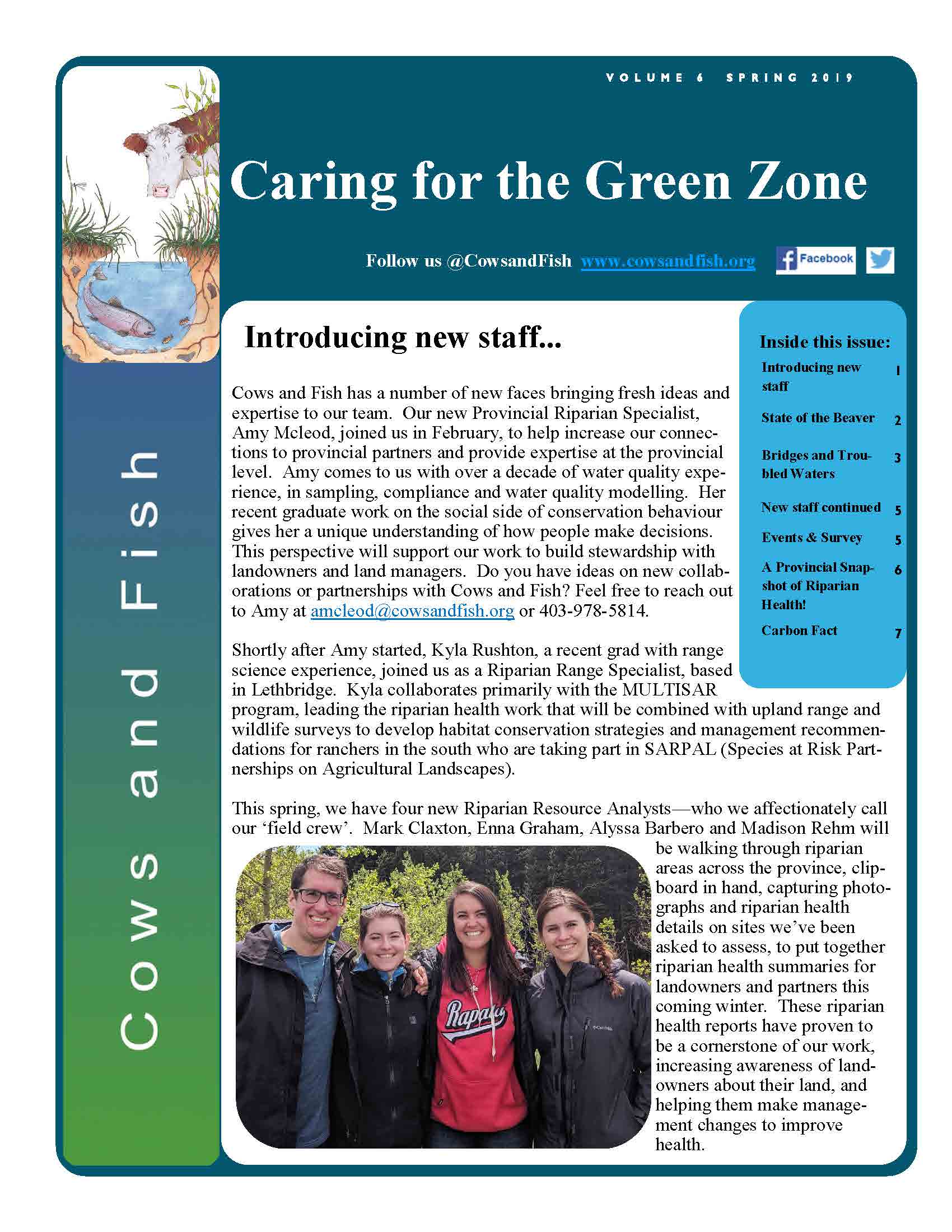
Caring for the Green Zone Newsletter Volume 6 Spring 2019
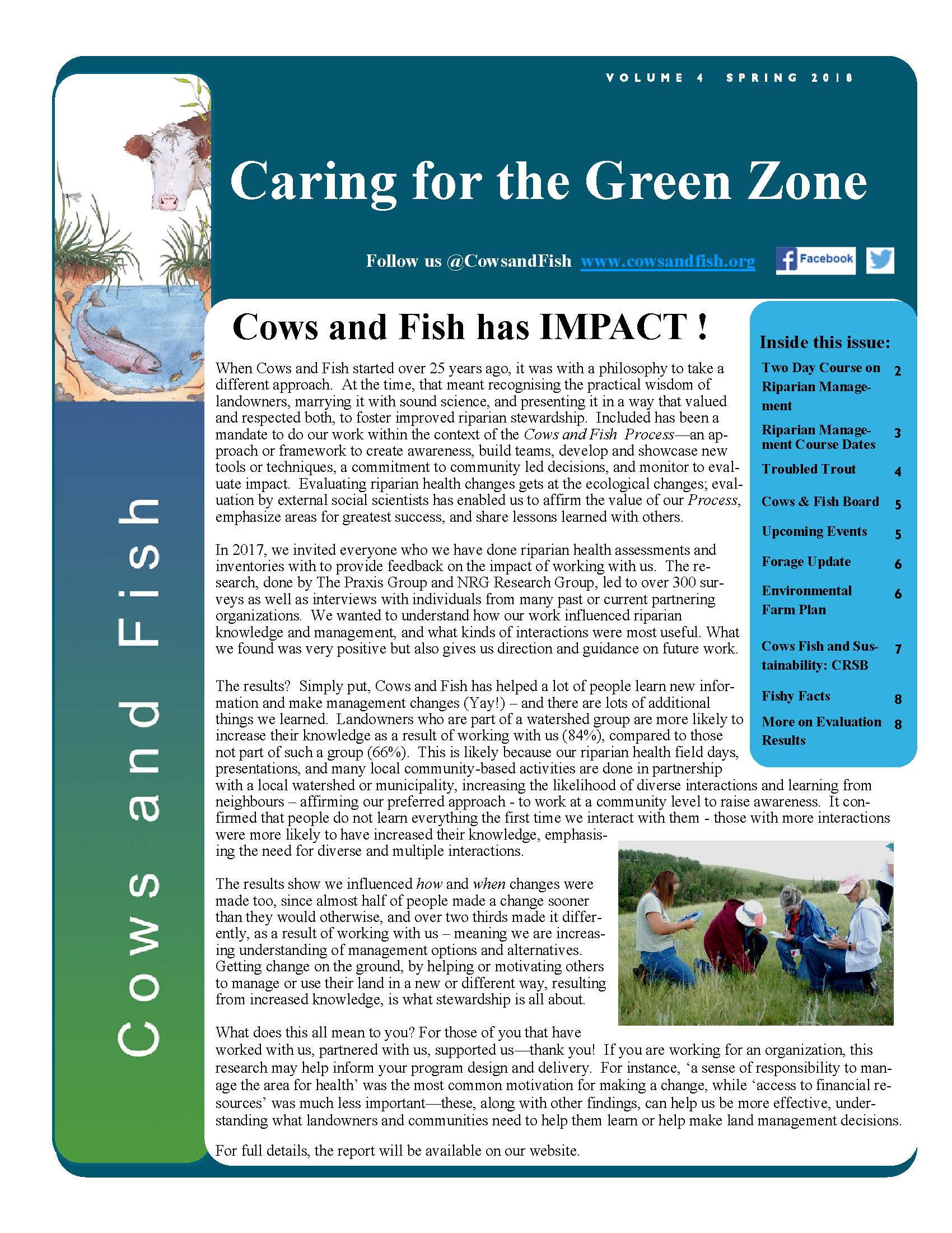
Caring for the Green Zone Newsletter Volume 4 Spring 2018
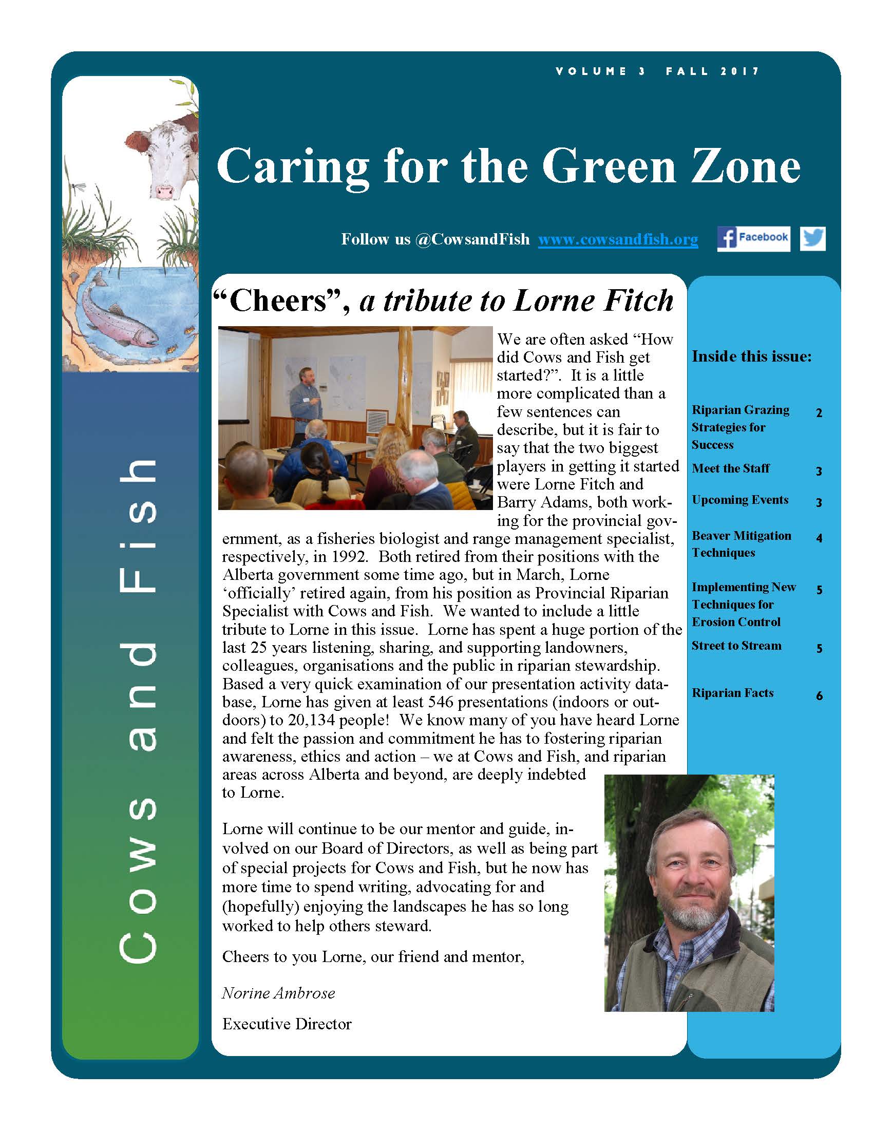
Caring for the Green Zone Newsletter Volume 3 Fall/Winter 2017
Caring for the Green Zone Newsletter Volume 2 Fall/Winter 2016/2017
Caring for the Green Zone Newsletter Volume 1 Fall/Winter 2015/2016
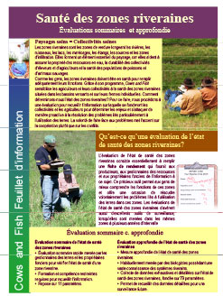
Wondering how to measure the health of your riparian area? This 4-page fact sheet will give you some ideas on why you may want to look at the health of your riparian area, and how you can use the information to make management decisions. It also describes the differences between riparian health assessment and inventory, the benefits of both, and how Cows and Fish can help.
What does riparian health look like? What makes a site healthy or less than healthy? See Riparian Areas: A User’s Guide to Health for a colourful, image based, 46-page booklet to help you tune your eye to what makes up riparian health.
To answer the question “Is this riparian area healthy?”, consider doing a Riparian Health Assessment, and request one of our landowner’s guides to riparian health, better known as Riparian Health Assessment Field Workbooks. These are pocket guides for landowners to easily determine the health of their riparian area and as an education and awareness aid for resource managers:
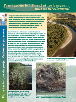
In the tension between land and water, water always wins. Healthy, well vegetated riparian areas slow the rate of erosion and balance erosion in one spot with bank or shoreline increases through deposition elsewhere. It is extremely difficult to solve erosion problems overnight but once the threat of erosion becomes obvious we tend to want a quick fix. Regaining streambank and shoreline stability may require the temporary use of erosion control structures, especially where insufficient riparian vegetation exists. Solutions may also require a watershed view to see all of the things that contribute to instability.
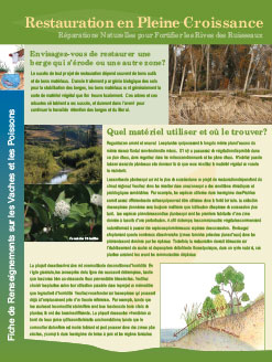
For streambanks and shorelines that are experiencing accelerated erosion, returning those banks to natural vegetation is generally the best approach. This fact sheet introduces readers to the concept of soil bioengineering, using live woody vegetation that will ‘sprout and grow’. Once the cause of the vegetation loss has been addressed, these techniques may be used to restore eroding banks, knitting banks together and reducing further loss.