Newsletter – 2018 Winter
Caring for the Green Zone Newsletter
Volume 5 Winter 2018

Publiation has been added to cart
Caring for the Green Zone Newsletter
Volume 5 Winter 2018
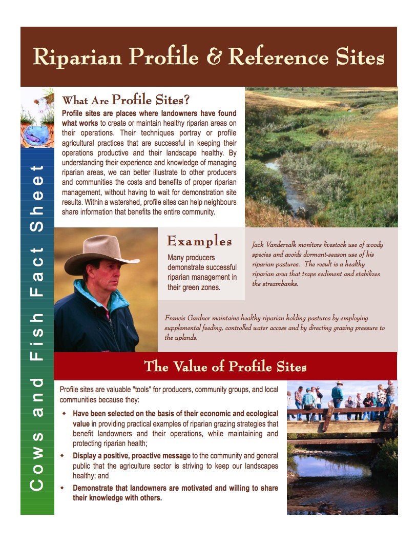
Demonstration, profile and reference sites are cost effective methods of displaying and testing riparian management options using local producers. Other producers and community members are given the opportunity to educate themselves about riparian management options as well as to discuss and evaluate the benefits and applicability to their region by touching, seeing and examining the site. Demonstration, profile and reference sites are valuable and practical tools for producers and communities. Learn how to select effective demonstration, profile and reference sites.
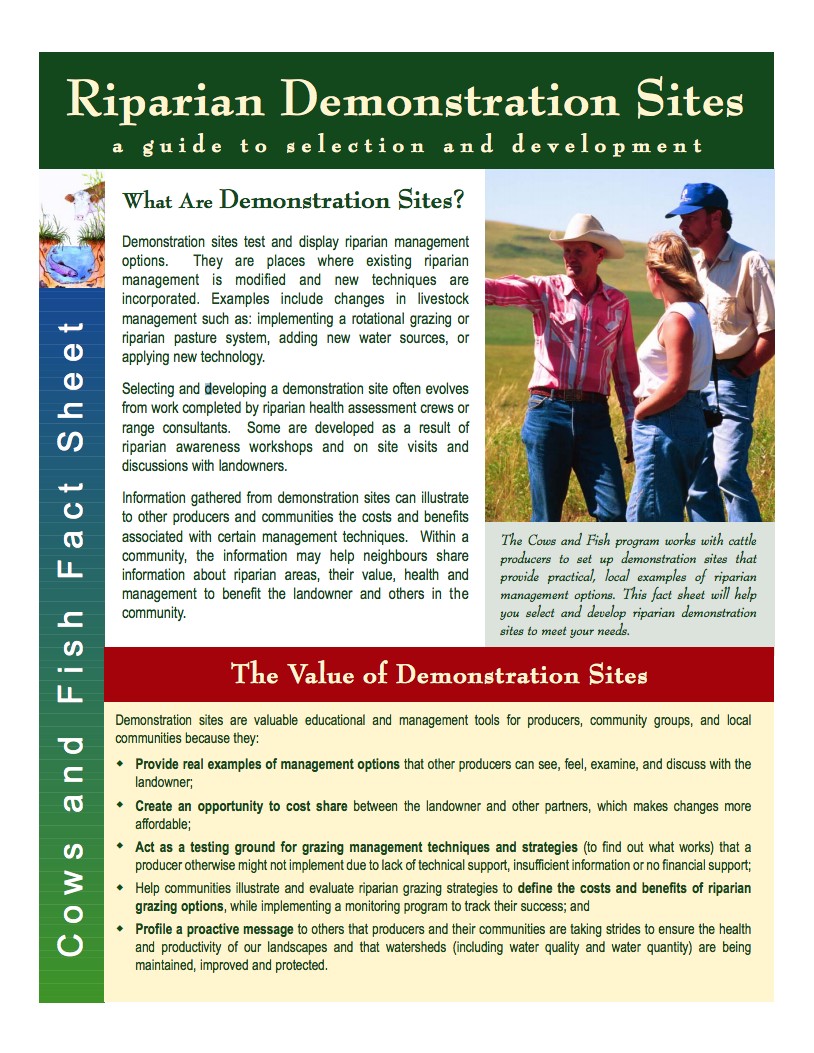
Demonstration sites test and display riparian management options. They are places where existing riparian management is modified and new techniques are incorporated. Examples include changes in livestock management such as: implementing a rotational grazing or riparian pasture system, adding new water sources, or applying new technology.
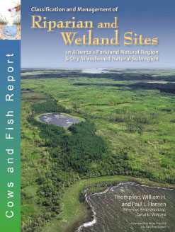
Cows and Fish Report No. 020. 2003. Classification and Management of Riparian and Wetland Sites in Alberta’s Parkland Natural Region and Dry Mixedwood Natural Subregion. Printed copies available for $60. For use in Alberta’s Parkland Natural Region, portions of the Boreal Natural Region (Dry Mixedwood Subregion) and adjacent subregions.
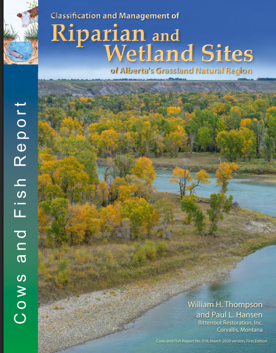
Cows and Fish Report #018. 2020. Classification and Management of Riparian and Wetland Sites of Alberta’s Grassland Natural Region. For use in Alberta’s Grassland Natural Region and adjacent subregions. Printed copies available for $60.
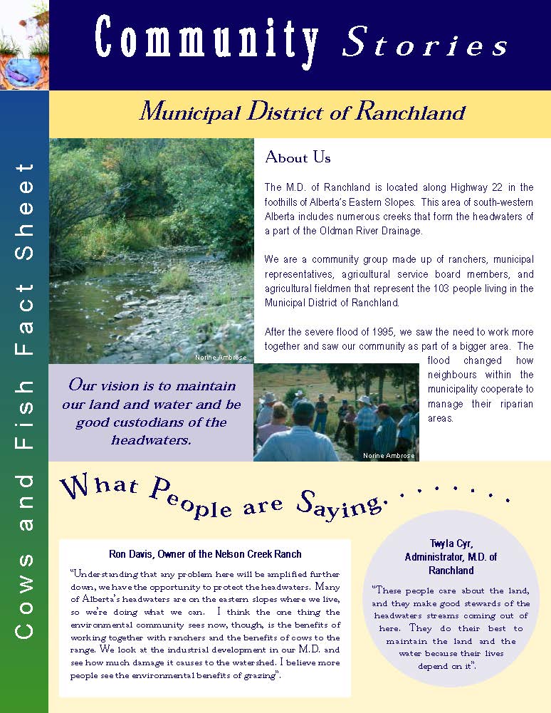
The Municipal District of Ranchland is located in the foothills of south-western Alberta. This area includes numerous creeks that form the headwaters of part of the Oldman River drainage. We are a community group made up of ranchers, municipal representatives, agricultural service board members, and agricultural fieldmen that represent the 103 people living in the M.D. After a severe flood in 1995, we saw the need to work together more, and also saw our community as part of the bigger area. The flood helped us recognise that neighbours could work together to manage our riparian areas.
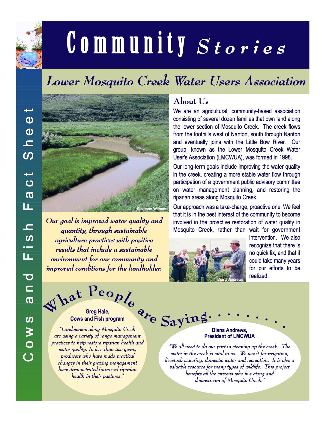
Our group consists of several dozen agricultural families, forming a community-based association of landowners along the lower section of Mosquito Creek. Our approach has been a take-charge, proactive one. We feel that it is in the best interest of our community to become involved in the proactive restoration of water quality in the creek.
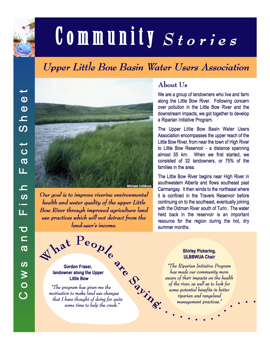
We are a group of landowners who live and farm along the Little Bow River, from near the town of High River to the Little Bow Reservoir – a distance spanning almost 55 km. Our Riparian Initiative Program has made our community more aware of their impacts as well as helps us look for some of the potential benefits that come from better riparian and rangeland management practices.
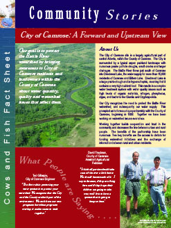
The City of Camrose, located in central Alberta, has been working with the County of Camrose since 1998 to protect the Battle River watershed. The City realizes that by working on watershed issues together with the County, they are not only helping to create a healthy watershed for agricultural and recreational users but they are also protecting the water supply for 15,000 urban individuals.
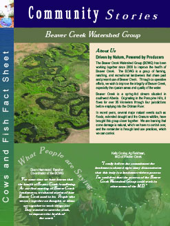
Composed of farmers, ranchers and recreational landowners, the Beaver Creek Watershed Group is striving to improve riparian health and water quality in Beaver Creek through the collective efforts of landowners along this stream which flows from the Porcupine Hills. The group has taken action to build a strong group of committed individuals with the support of a working group of agency resource people. They continue to focus on awareness, implementing management changes and monitoring.
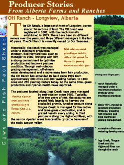
Using a combination of rest-rotation and time-controlled grazing, Bud Maynard, ranch manager, has been working to improve pasture condition since 1989. In combination with these grazing strategies and off-stream water development, riparian health and grass production have improved, along with an increase in herd size.
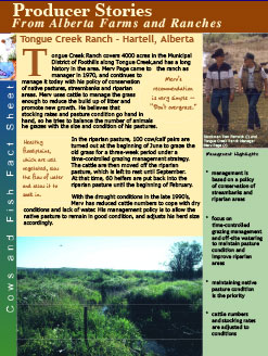
Recognising that cattle numbers and stocking rates need to be adjusted to meet pasture and range conditions has enabled Merv Page, ranch manager, to keep the native range in good condition. Use of short periods of grazing during the spring plus access to off-site water maintains the riparian area and streambank, allowing for fall-winter grazing to also fit into the management strategy.
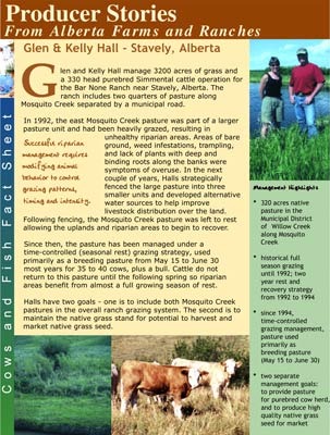
The Halls have been using a time-controlled grazing strategy to provide carefully managed grazing of their riparian pasture since 1994. They want to maintain the pastures along Mosquito Creek to continue to provide pasture during the breeding season and also to produce high quality native grass seed for market.
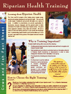
Would you like to better understand the health of your riparian area? The Riparian Health Training fact sheet provides answers on the type of training provided by Cows and Fish and how to choose the right training for you.
To obtain printed copies of these publications, please use our Online Order Form.
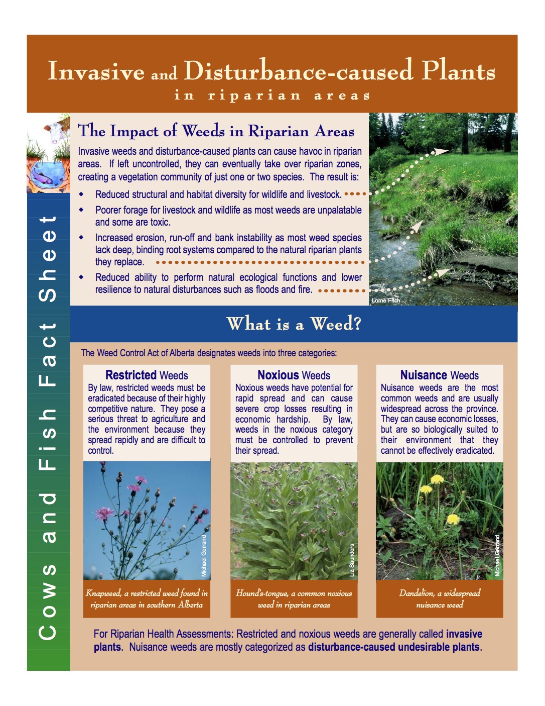
This fact sheet explains all you need to know about weeds, or invasive and disturbance-caused plants, in riparian areas. From different types of weeds to the impact of weeds in riparian areas and why weeds are included in riparian health assessments. For a complete list of all invasive and disturbance-caused plants see the fact sheet Invasive Weeds and Disturbance-caused Undesirable Plants List.
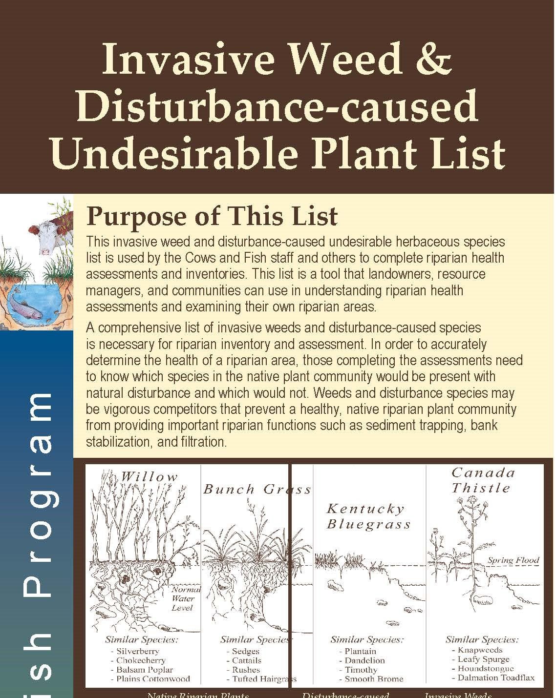
A list of invasive weed and disturbance-caused undesirable plants used by Cows and Fish staff to complete riparian health assessments and inventories (designed for use in Alberta). This list is a tool that landowners, resource managers, and communities can use in understanding riparian health assessments and examining their own riparian areas. Note that the same list can be found at the back of the Riparian Health Assessment Field Workbook. Invasive plant species locally elevated by municipalities are not included in this list.